Plan a drive down the Californian coast with the right road, the right wheels and the stops that deserve your time.
The San Francisco to LA Road Trip: Why Take the Slow Road?
Perhaps it’s the thought of whales blowing offshore while you eat lunch on a cliff. Or one too many car adverts, in which the road is always empty and nobody ever needs the loo.
Then you open a map, and the daydream turns into homework. Which road should you take? Car or campervan? How many days do you need? And which of the hundreds of viewpoints deserve your brakes?
Happily, the answers come down to two things. How much time you have, and how you feel about hairpin bends.
I’ve driven this coast. Going on a trip from San Francisco to Los Angeles is a question of miles, of time, and of what you decide to do with the road in between. We’ll start where most in-car arguments start, with the route.
Step One: Choose Your Route
Three roads connect the two cities, and each makes a different promise.
Interstate 5: The Fast Lane
The I-5 runs inland through farmland. It covers about 615km (383 miles) in six or seven hours and offers little to remember.
US 101: The Middle Way
It runs close to the sea in places but mostly inland, past the farm towns and vineyards of a classic drive through Central California. It’s the detour when the coast road closes, and the road I took after Carmel, via the Steinbeck Museum in Salinas and a winery powered by its own wind turbine.
Highway 1: The Cliffhanger
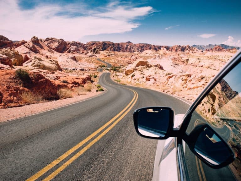
Most visitors know it as the Pacific Coast Highway. It runs for around 750km (465 miles), follows the cliffs for much of the way and takes about ten hours of driving. If this is your first time on the West Coast, choose this one.
The Big Sur stretch alone took 18 years to build. Inmates from San Quentin did much of the hardest work for 35 cents a day. Lady Bird Johnson came in 1966 to dedicate it as California’s first official scenic highway.
It also breaks. Landslides closed part of it for three years until January 2026, and wildfires shut it again for weeks that summer. Check Caltrans QuickMap before you set off each morning.
Step Two: Choose Your Wheels
Route sorted? On to the next argument. Where would you rather wake up?
Hire Car: The Easy Option
A hire car keeps life simple. It squeezes into tight lay-bys and town car parks, and every night ends in a proper bed.
Campervan: A Room with a View
A campervan changes the rhythm of the drive from San Francisco to LA. You wake to the sound of the sea, cook wherever the view is best and unpack only once. You’ll also learn exactly how loudly your travel companion snores.
The catch? Getting the van back. One-way hire solves that, and Travellers Autobarn, for one, lets you start in the Bay Area and leave the van in Los Angeles. If you arrange a pickup from their depot in San Francisco, allow time to get there, because it’s actually across the bay in Hayward. It closes on Sundays, too.
The taller vans stand 2.9 metres high, so watch for height barriers and take the bends slowly.
- Recommended reading: your printable packing list for the drive
How Many Days Do You Need?
Which leaves the clock. You could make the drive from SF to LA in a day on the interstate. You’d arrive tired, having seen a great deal of tarmac and not much else.
On the coast, five days is a sensible minimum and seven to ten is better. The distances look short on a map. Then the bends, the viewpoints and the roadworks take over.
With two days to spare, start with a detour north to the vineyards of Sonoma, where I tasted plenty of wine and spent a morning picking surplus apples for food banks.
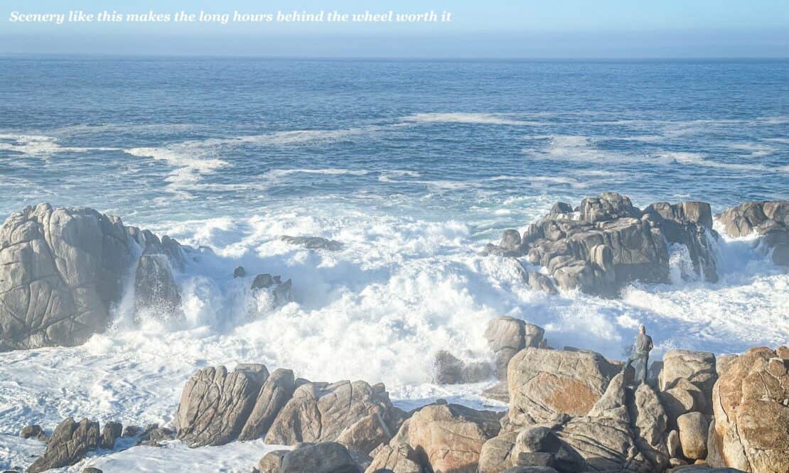
Your California Road Trip Itinerary: The Best Stops Along Highway 1
Seatbelts on? Here’s my pick of the places to pull over along the coast, from north to south.
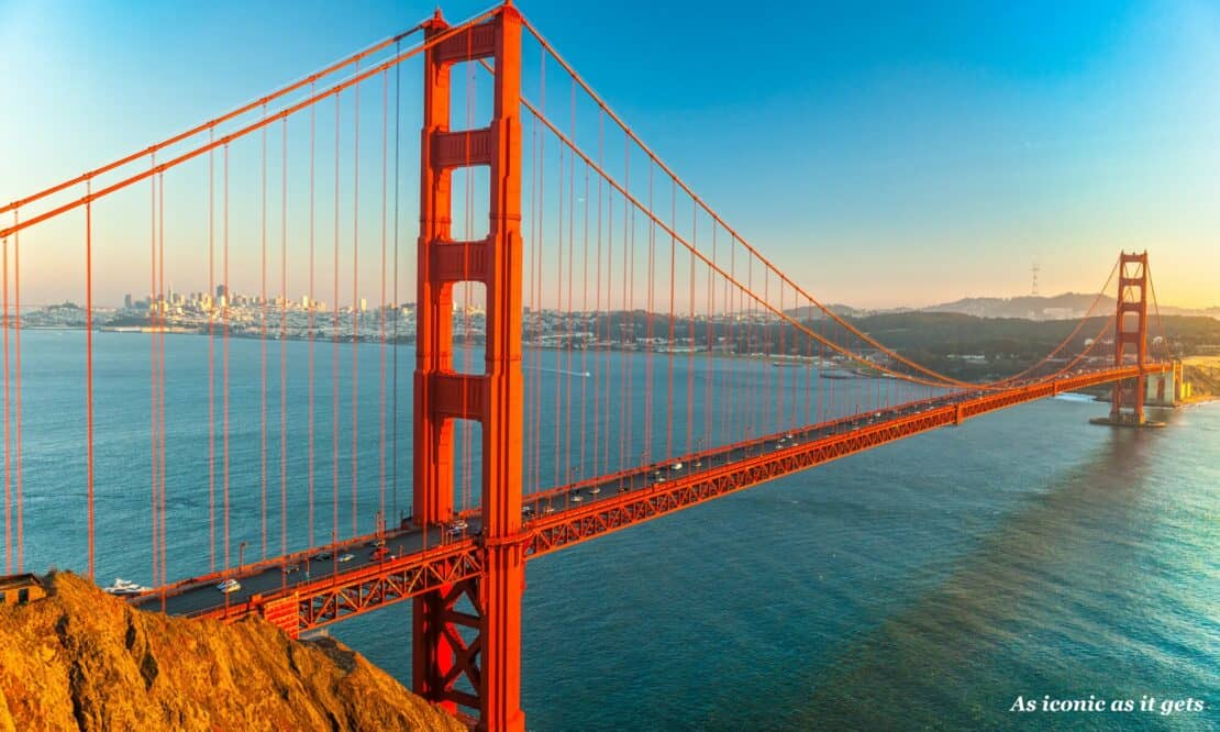
Before you leave the city, visit Fort Point, the brick fort beneath the Golden Gate Bridge where Kim Novak’s character leaps into the bay in Hitchcock’s Vertigo. It’s free, and open Thursday to Monday.
Half Moon Bay and Pigeon Point
Within an hour of the bridge, walk or cycle the 10km coastal trail along the bluffs, past cypress groves and rock pools.
Pigeon Point, further south, takes its name from a shipwreck. In 1853, the clipper Carrier Pigeon ran onto the rocks in fog. The lighthouse followed in 1872, a little late for the pigeon. Its tower is closed for restoration.
Stay beside it, and book a slot in the clifftop hot tub when you check in.
Santa Cruz
In 1885, three teenage princes from Hawaii paddled out at the mouth of the San Lorenzo River on redwood boards. They gave the American mainland its first sight of what the local paper called surfboard swimming.
Roll into town, and you’ll find Santa Cruz never got over it. Watch the surfers at Steamer Lane from Lighthouse Point. On the Boardwalk, riders on the 1911 carousel still lean out to grab brass rings, and the wooden Giant Dipper has rattled teeth since 1924.
Monterey and Cannery Row
An hour round the bay, the Monterey Bay Aquarium lives inside the Hovden plant, the Row’s last sardine cannery to close. Book ahead for the sea otter feeding.
The street was called Ocean View Avenue until 1958, when it was renamed after John Steinbeck’s novel, by which time the sardines were gone.
Whale watching, which I see as one of the world’s best wildlife experiences, is reliable here because a submarine canyon over three kilometres deep lies just offshore, pulling up cold water full of krill.
Gray whales pass in winter, humpbacks feed from spring to early winter, and blue whales arrive in summer.
Boats leave from Fisherman’s Wharf, or kayak among the sea otters, keeping at least five kayak lengths away. (If one lifts its head to look at you, you’re too close.)
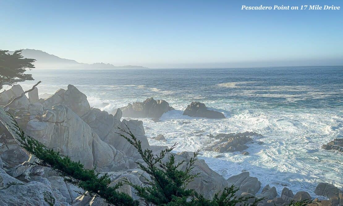
17-Mile Drive and Pebble Beach
Next, circle the peninsula on this private toll road, opened in 1881 as a carriage ride for hotel guests. Entry costs $12.50 per car.
Its 17 stops take in sea lions barking on Bird Rock, and at stop 12 you’ll find the Lone Cypress, which has survived around 250 years of storms, an arson attempt and a great many selfie sticks.
At Pescadero Point, I saw cypresses the wind has twisted into ghosts, then harbour seals and sea otters in the kelp.
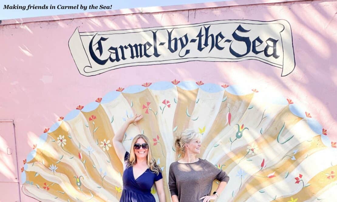
Carmel-by-the-Sea
The drive’s southern gate opens onto a village that refused to number its houses for over a century. Cottages go by names instead, such as Hansel and Sea Urchin, and locals collect their post in town. Street numbers arrived only in September 2026.
Also, you need a free permit from City Hall to wear heels over five centimetres. (Nobody gets fined, but the permit makes a lovely souvenir.)
The star of my food walk round the village was a honey flight, from sage to meadowfoam, that left me suspicious of supermarket jars.
Ten minutes south, Point Lobos is the place to watch sea otters. Walk the Sea Lion Point loop, then follow the Bird Island Trail to China Cove, where the water turns jade green.
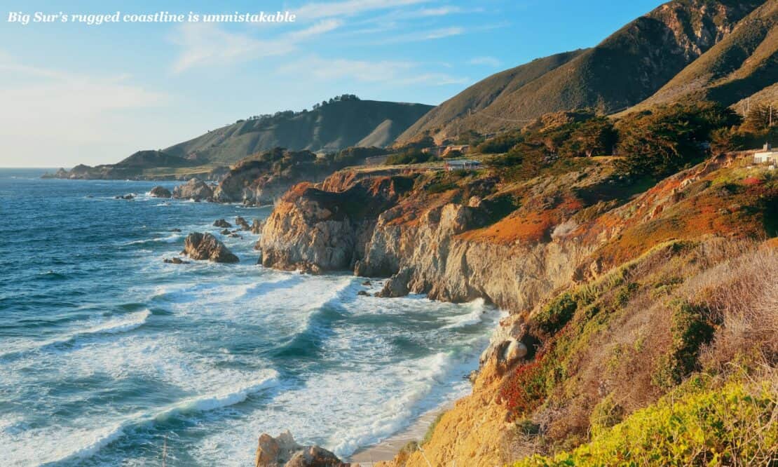
Big Sur and Bixby Bridge
Beyond Point Lobos, the road climbs onto the cliffs. Until 1932, winter storms could cut this coast off from the world. Then Bixby Bridge opened.
Today it’s one of the most photographed bridges in California, but since summer 2026, a year-long ban has stopped parking for a few hundred metres either side. Park only where signs allow, and never stop on the road itself.
Henry Miller lived here for almost two decades, and his friend’s home is now the Henry Miller Memorial Library, which proudly calls itself the place where nothing happens. Browse the bookshop anyway.
Further south, take the short trail to the McWay Falls overlook, where a 24-metre waterfall drops onto a cove (until a 1983 landslide, it fell straight into the sea). Then linger over lunch on the terrace at Nepenthe, which grew up around a log cabin bought by Orson Welles and Rita Hayworth, who divorced and never returned.
Wildfires closed parks here for weeks in 2026, and some trails are still shut, so check before you go.
San Simeon: Elephant Seals and Hearst Castle
Eventually the cliffs soften, and the coves fill with blubber. By the 1880s, the owners of all that blubber were thought to be extinct. They returned in 1990, and now over 25,000 haul out here.
See the elephant seals in December and January, when the bulls spar and the first pups arrive. Viewing is free from sunrise to sunset, but there are no toilets.
On the hill above, William Randolph Hearst asked the architect Julia Morgan in 1919 to “build a little something”. By 1947, Morgan had given him 165 rooms.
As a child, Joan Didion saw the castle’s towers from the coast road as proof that anything was possible in California. Inside, years later, she found the real thing left less room for imagining.
Book ahead for the Grand Rooms Tour and judge for yourself. It ends at the indoor Roman Pool, which glitters with blue and gold tiles. On the drive out, look for zebras, descendants of Hearst’s private zoo.
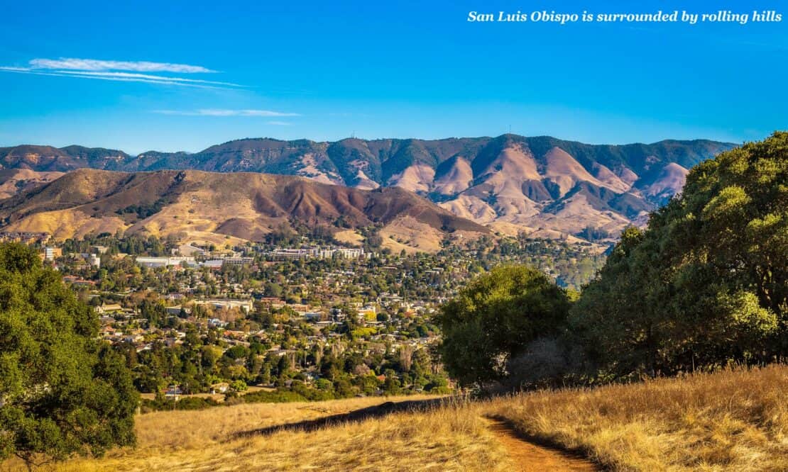
San Luis Obispo and Pismo Beach
Past Morro Bay, the road turns inland. Father Junípero Serra founded Mission San Luis Obispo de Tolosa in 1772, and on Thursday evenings a farmers’ market takes over Higuera Street. Nearly two centuries later came the Madonna Inn, where each of the 110 rooms has its own theme. Call in for a slice of its pink champagne cake. If nature calls, the gents’ urinal is a waterfall.
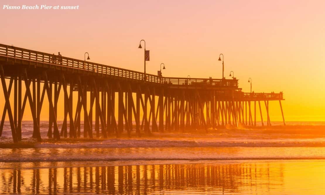
Twenty minutes south, monarch butterflies roost in Pismo’s eucalyptus grove from November to February. Beyond lie the Guadalupe-Nipomo Dunes, where Cecil B DeMille buried the plaster city he built for The Ten Commandments in 1923, so that cut-price film-makers couldn’t reuse it.
The Santa Ynez Valley
A short detour inland lies Solvang, founded in 1911 by Danish Americans escaping the winters of the Midwest. Order aebleskiver, pancake balls the size of a tangerine, from the walk-up window at Solvang Restaurant.
Then taste your way around the valley’s wineries. Much of the 2004 film Sideways was shot here, and afterwards pinot noir sales in the western US rose by 16%. Merlot took it personally.
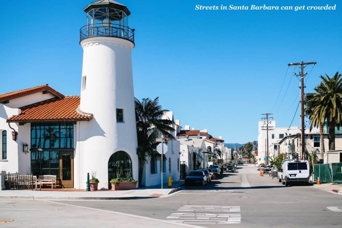
Santa Barbara
Cross the San Marcos Pass, then take the lift up the clock tower of the county courthouse for a view over the red-tiled roofs to the sea. They tell the story. After an earthquake wrecked downtown in 1925, the city rebuilt in Spanish Colonial Revival style, and the courthouse became its showpiece.
I went up the tower after a walk that took in a rosé flight and a wine and chocolate pairing. I recommend the order. Inside, a Hollywood set designer painted the Mural Room with local history.
Then visit the Old Mission, walk out along Stearns Wharf and end the day with a tasting flight on the Urban Wine Trail.
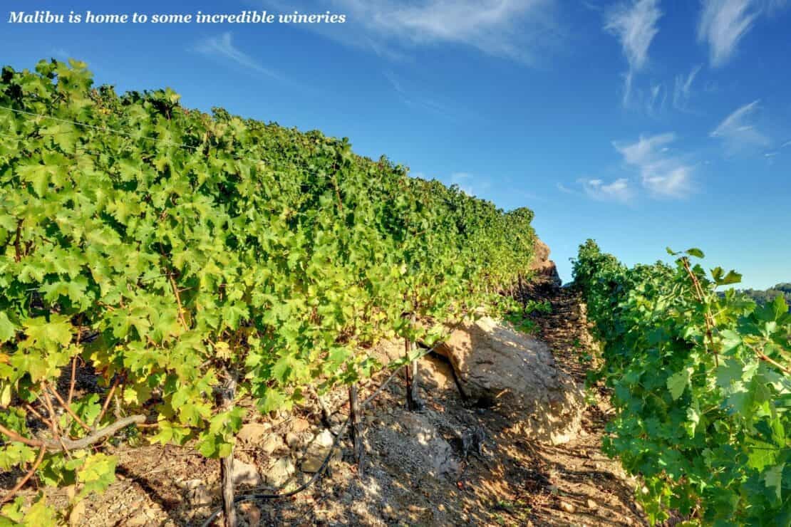
Malibu and Santa Monica
The last stretch of the Pacific Coast Highway passes the scars of the Palisades Fire, which tore through in January 2025. People are still rebuilding here, so drive slowly and stop with care.
The flames reached the grounds of the Getty Villa and burned about 1,400 trees, but no buildings or art. J Paul Getty modelled it on a Roman villa buried by Vesuvius. Entry is free with a timed ticket, but parking costs $25 and it’s closed on Tuesdays.
Nearby, crews coated the Adamson House in fire-protective gel and saved it. Its handmade tiles earned it the nickname “Taj Mahal of Tile”, and tours run Wednesday to Saturday.
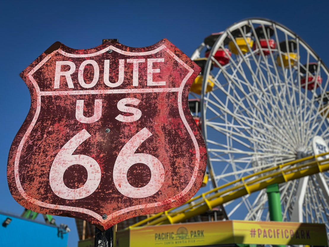
Then comes Santa Monica Pier, which opened in 1909 to carry sewer pipes beyond the breakers. Today it holds a 1922 carousel and what it bills as the first solar-powered Ferris wheel. I took the obligatory photo of its Route 66 sign.
- Recommended reading: how to drive from LA to Santa Barbara
Lab Travel Notes
- Best time to go: September and October usually bring the clearest skies. Winter means seal pups and Gray whales, but also the storms that close the road.
- Drive north to south: The ocean stays on your side, so most viewpoints are a simple right turn.
- Fuel and signal: Fill up before the long stretch of cliffs, where petrol is scarce and pricey. Phone signal comes and goes (which may be the point), so download offline maps.
- Motion sickness: Make sure to seat anyone prone to it in the front, open a window and have them watch the horizon. Ask a pharmacist about tablets before you go.
Is the Coast Road Worth It?
Every bend of it, so go while it still looks the way you imagined. The car adverts lied about the empty roads. But they got the view right.